LandTech Surveying, LLC
Categories
EngineeringArchitect/Builder
Hours:
We are open Monday thru Friday from 8am until 5pm.
About Us
Our goal at LandTech is to provide professional land surveying and land planning services to Landowners, Contractors, Developers, Engineering firms, Architectural firms, Utility Companies, and Municipalities. Our goal is to be our client’s first choice for all their land surveying needs by providing cost effective services in a timely and accurate manner while using the latest field equipment and surveying software to ensure high quality results. We strive for professionalism and have a commitment to long-term relationships. Services provided: ALTA/NSPS Land Title Survey, Boundary Survey, Certified Survey Map (CSM), Condo Plats, Construction Staking, Drone Services, Environmental Survey, FEMA Elevation Certificate, New House Plat of Survey, Plat of Survey, Subdivision Platting and Topographic Surveys. Land Tech's service area is Southeastern Wisconsin. Waukesha, Washington, Dodge and Jefferson are typically the counties where we conduct residential surveys.
Images

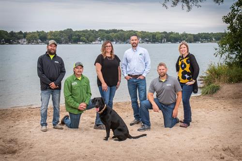
Gallery Image Group_-_Good_Beach.jpeg


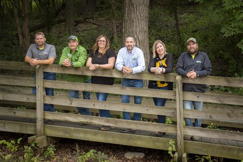
Gallery Image Group_-_Bridge.jpg

